
Aerial Spraying

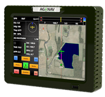
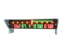
GUIA PLATINUM – State-of-the-art technology
The Guia Platinum is the ultimate companion for aerial agriculture, mosquito control, and forestry pilots.
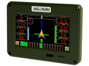
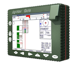
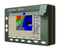
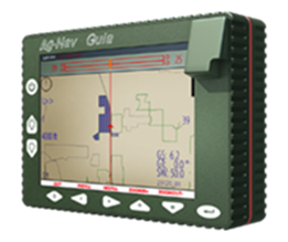
GUIA GOLD & SILVER
The AG-NAV Guia is a powerful, compact navigation system for aerial agriculture.
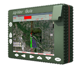
GUIA LITE
Back to basics, entry level guidance system. Designed to meet and exceed specific requirements for GPS guidance in aerial applications.

GROUNDNAV
A real-time GPS navigation system for ground precision guidance.
ACCUAIR AMS
The AccuAir is a collaboration between Forest Protection Ltd. and AG-NAV, for forest protection.
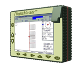
FLIGHTMASTER
The FlightMaster offers GPS precision guidance in the wind, for aerial pest control.
LINAV
A real-time GPS navigation system specially designed for aerial surveying.
TRAXNAV
A real-time GPS navigation system specially designed for animal baiting and surveying.
AIMMS-20 MET PROBE
Delivers precise real-time meteorological data at rates up to 20Hz (temperature, humidity, wind).
LIGHTBARS
Highly customizable lightbars allow pilots to see crucial information they need in flight. They come in many shapes and sizes.
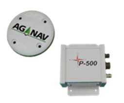
P-500 GPS RECEIVER
The P-500 GPS Receiver is highly versatile and manufactured to suit any application where GPS is required.
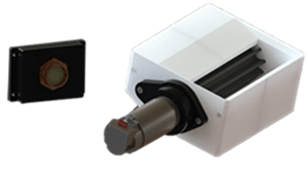
AGLASER
The AgLaser is a laser altimeter fully compatible with all Guia systems. It uses laser technology to provide you with altitude information.
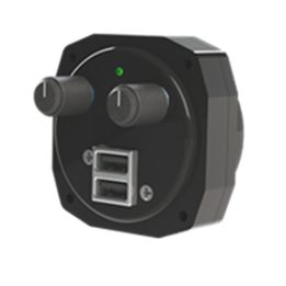
DIMMER HUB
Stay safe with ease. The Ag-Nav Dimmer Hub uses just 2 easily accessible knobs to adjust the brightness of an Ag-Nav Guia System, or LightBar.
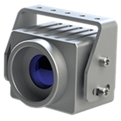
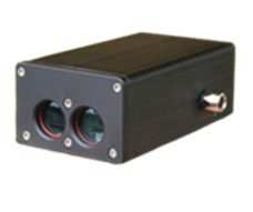
AgView Camera
Use your platinum system to view what’s below! Or add another form of data to your Flight Recording software.
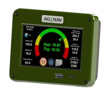
AG-FLOW1 STANDALONE FLOW CONTROL SYSTEM
Get the application rate you need without a navigation system. The AG-FLOW1 Standalone Flow Control System is consists of the AG-FLOW system and the all-new AG-FLOW1 display. The compact touchscreen lets you easily monitor and control application rate.
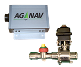
AG-FLOW SYSTEM
The AG-FLOW system works with your Guia Platinum or Gold to get you the application rate you need for wet materials.
Granular Flow Controller
The Granular Flow Control is our flow controller for dry materials.
3-Way Valve
The Ag-Nav Automatic Target Flow System is the next step of integrating today’s advanced technology into the world of aerial application.
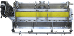
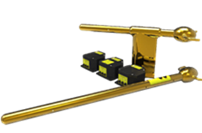
HATFIELD GATE
Unique precision formed Urethane Rotors give you the most versatility available in a low volume distribution gate.
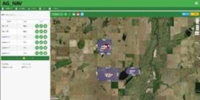
AG-NAV AgMission
AgMission is a web-app software centralizing all data related to aerial application. Data from flight planning to complete mission reporting can be entered and shared by all people who work on the same job.
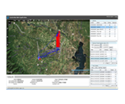
AG-NAV GIS SOFTWARE
AG-NAV offers fully featured premium GIS software that will take your operation to the next level, from flight planning to post data processing.
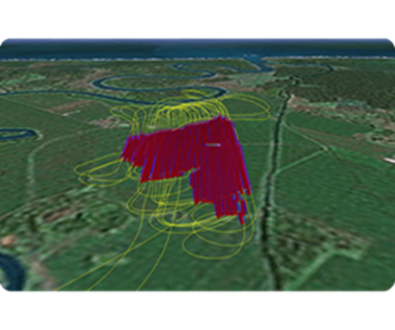
TRACKERNAV
TrackerNav is a near real-time fleet management software package, which allows users to monitor their aircraft in flight and sprayed locations.

AGNAVLINK
AgNavLink is a free service designed for efficient wireless data transfer and communication between pilots and office staff.